
Wander turns posts into your travel map.
Completely free on iPhone and Android.
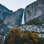
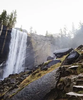
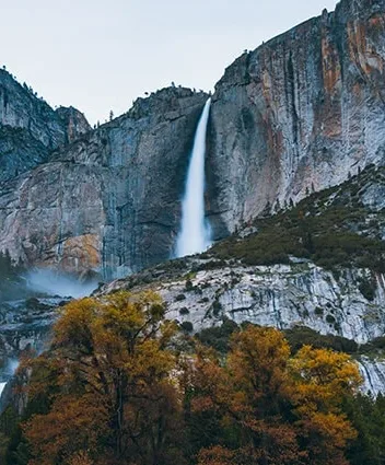


3 Yosemite hikes worth the climb
 Wander


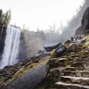 Yosemite FallsMist Trail
Photos: yosemite.com
Tourism board or CVB? We build your official map, on your website and in Wander.
See how it works


That was one reel. Try one of yours.
No account needed to try.
A trip, start to finish
From one reel to a whole trip.
Follow one sample trip to Yosemite Valley, from a saved video to a plan for every day.
01Save
Saw it in a post? Save it.
Share a post to Wander, or paste its link, and the places it mentions land on your map. Paste the link in Wander to choose the trip they go into.
Where you can save from
- Instagram
 TikTok
 YouTube
 X
X- Threads
 Pinterest
 travel blogs
In the app today


 @sample.trails
02Save
Ask Wander AI what else is good.
Ask in plain English, and save the answers as places.
In the app today
03Plan
Sort your places into days.
Drag them into days, and each day gets its own color.
In the app today
04Plan
Your trip, one map, by day.
Each day gets its own route and the time between stops.
In the app today
05Plan
Set a time. The day flows.
Set the times that matter, and Wander estimates the rest.
In the app today
06Plan
A free hour? See what fits.
Wander counts the walk there and back, and nothing changes until you add it.
In the app today
07Plan
Notes that stay with the stop.
What to order, what to bring, where to meet.
In the app today
08Confirmations
Forward a booking. It finds its day.
Forward a confirmation to your Wander address, and it lands on the right day.
Or let Gmail auto-forward just your booking emails (a one-time setup on a computer). No Gmail sign-in: Wander only sees what reaches your address.
In the app today
09Confirmations
Airline emailed a change?
See what changed.
Wander shows the old and new times side by side, and your plan waits for your tap.
In the app today
10Your AI
Your AI can run your trip.
Connect Claude, ChatGPT, Grok or Muse, and it changes your trip when you say yes.
 Claude
 ChatGPT
 Grok
Grok Muse
Muse
In the app today

11By text
Text Wander to change the plan.
Text a change, reply YES, and your trip map updates without opening the app.
In the app today
12Go
Download the valley before you go.
Save the map, its trails and your places for when the signal drops.
In the app today
13Go
Official maps from the destinations you visit.
Their trails, places, guides and tours open right in the app.
In the app today



Destinations across the country run their official map on Wander








1 million+devices and browsers have opened a Wander map.
Devices and browsers.
Across every Wander product
- The Wander app, on iPhone and Android
- Wander maps on the web
- Official maps on destinations’ own websites
Fly through real official maps.
See how destinations put their official map to work, from the globe down to the street.
Fly the showcaseRun a tourism board, CVB or DMO?
Destinations across the country run their official map on Wander
Where to next?
Get the app and go find the real places.
Completely free on iPhone and Android.
Put your official map where your visitors decide.
We build it with you.