











© Mapbox © OpenStreetMap
Travel Wrangell
Where the road ends, the map keeps going.
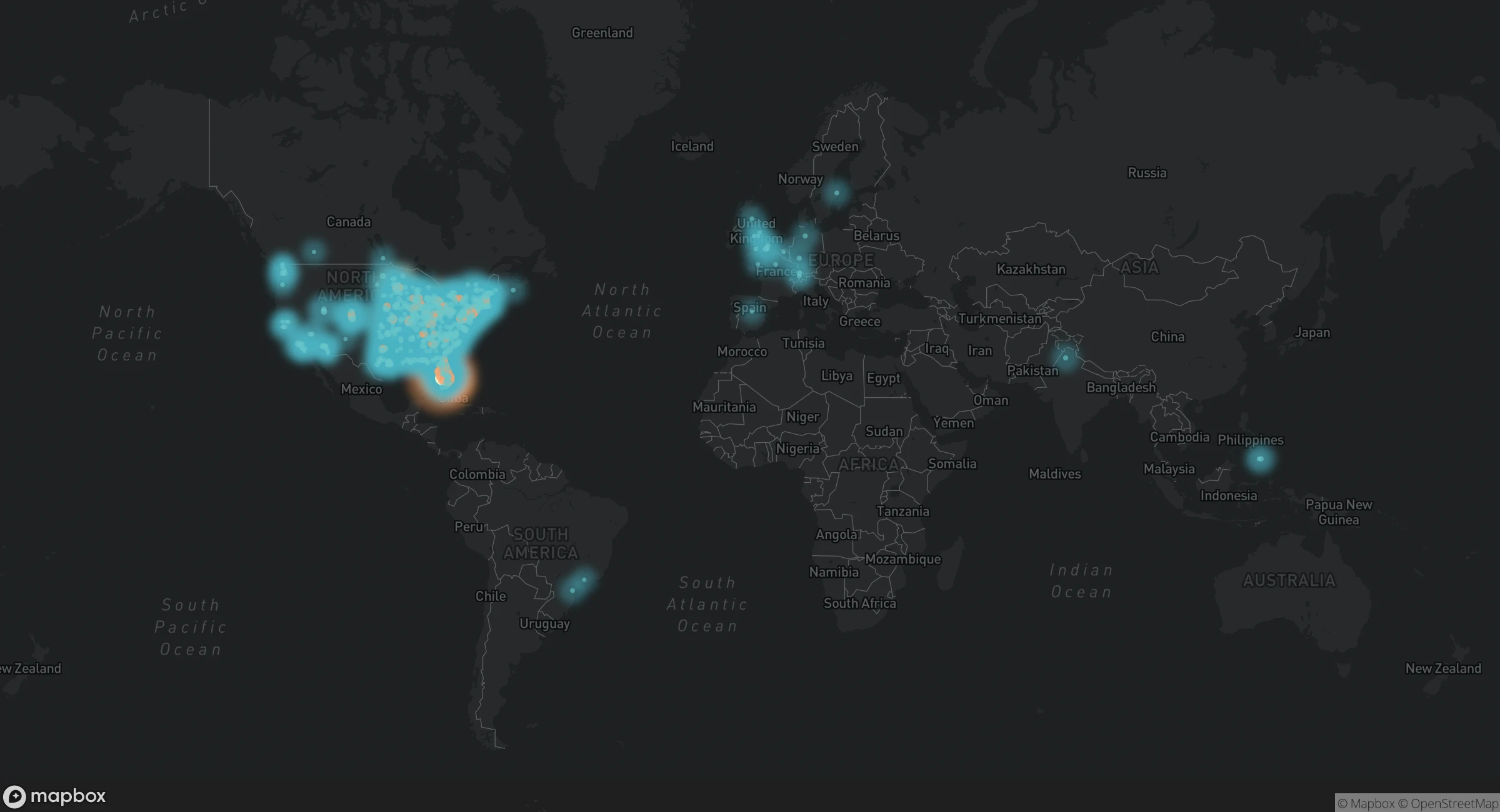
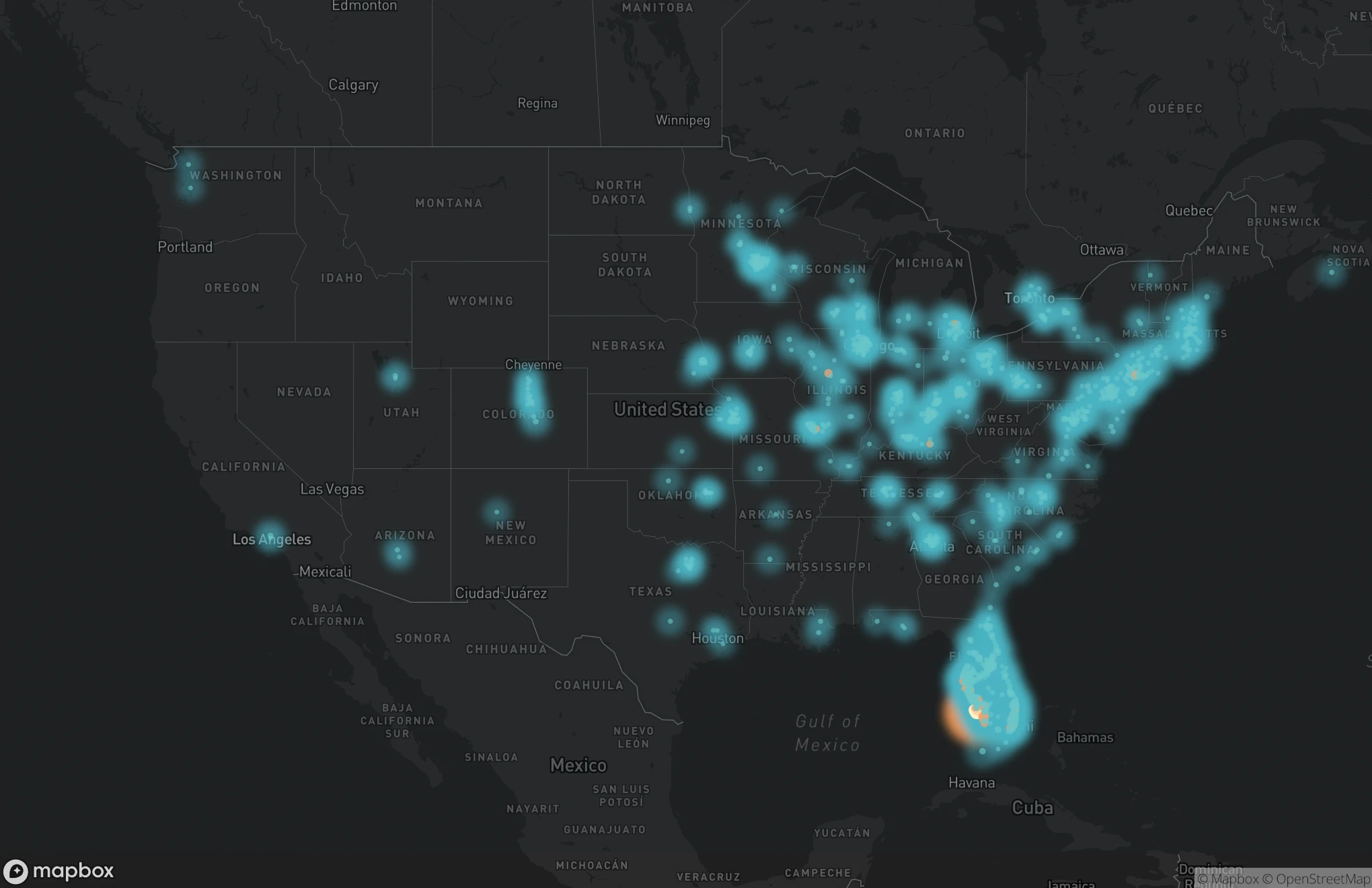
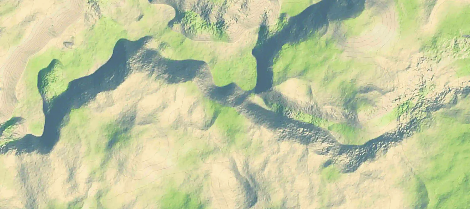
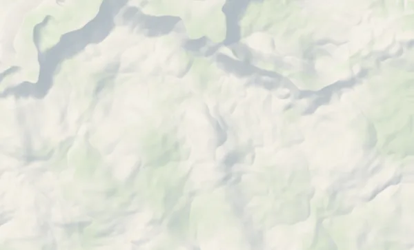
A ferry town at the mouth of the Stikine River, and a backcountry the road never reaches. Its official map draws the Forest Service trails and roads as lines, and puts the cabins beside the town’s museum, food and places to stay.
- Anan Wildlife ObservatoryReached by boat or floatplane; day-use permits are required July 5 – August 25.
- LeConte GlacierMassive pieces of ice calve from the face of North America’s southernmost tidewater glacier.
- Shakes GlacierA glacier-fed lake 30 miles up the Stikine River from Wrangell.
- Chief Shakes Hot SpringsEnclosed and open-air redwood hot tubs, dressing rooms and benches.
- Stikine River South Arm RouteThe fastest route on the river, timed around the tide across the mud flats.
- Public-use cabinsRemote backcountry bases reached by boat, trail or floatplane.
On the map
Offline download · iPhone appSwitched on by Wander where the signal drops.
Opens from travelwrangell.com’s main menu ↗ (opens in a new tab)
Fly there in the showcase: Travel Wrangell →Listings from Travel Wrangell’s own map.